-
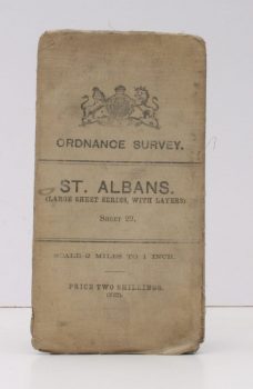
ORDNANCE SURVEY
Ordnance Survey
St. Albans. (Large Sheet Series with Layers). Sheet 29. Scale: Two Miles to One Inch.
Read more details -
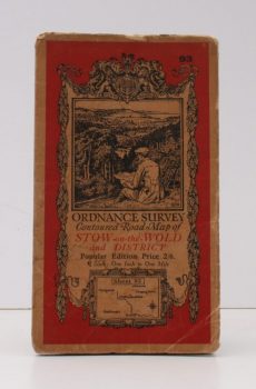
ORDNANCE SURVEY
Ordnance Survey Contoured Road Map of Stow-on-the-Wold and District
Popular Edition. One Inch, Sheet 93. [Ellis Martin cover].
Read more details -
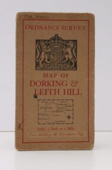
ORDANCE SURVEY
Ordnance Survey [Tourist] Map of Dorking & Leith Hill
One Inch to One Mile. ['Official Royal Arms' cover].
Read more details -

-
-
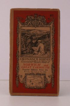
ORDNANCE SURVEY
Ordnance Survey Contoured Road Map of Norwich and Great Yarmouth
Popular Edition. One Inch. Sheet 67. [Ellis Martin cover].
Read more details -
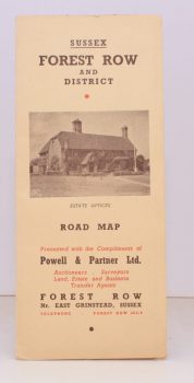
FOREST ROW
Forest Row and District
Presented with the Compliments of Powell & Partner.
Read more details -
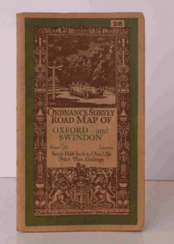
ORDNANCE SURVEY
Ordnance Survey Road Map of Oxford and Swindon
Sheet 28. Layers. alf Inch to One Mile. [Ellis Martin cover].
Read more details -
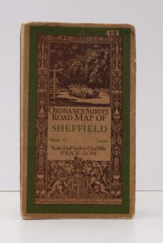
ORDNANCE SURVEY
Ordnance Survey Road Map of Sheffield
Sheet 13. Layers. Half-Inch to One Mile. [Ellis Martin cover].
Read more details -
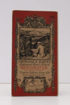
ORDNANCE SURVEY
Ordnance Survey Contoured Road Map of Bridgwater and District
Popular Edition. One Inch. Sheet 120. [Ellis Martin cover].
Read more details -
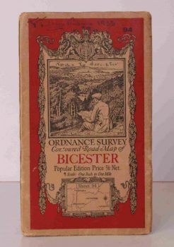
ORDNANCE SURVEY
Ordnance Survey Contoured Road Map of Bicester
Popular Edition. One Inch, Sheet 94. [Ellis Martin cover].
Read more details -
-
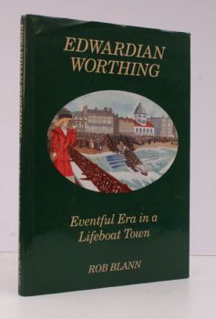
BLANN, Rob
Edwardian Worthing
Eventful Era in a Lifeboat Town. [Foreword by Raymond Baxter].
Read more details -

ELMES, J.
A Topographical Dictionary of London and its Environs; containing Descriptive and Critical Accounts of all the Public and Private Buildings, Offices, Docks, Squares, Streets, Lanes, Wards, Liberties, etc
Read more details -

-

CHARLTON (ed.), J.
The Tower of London: its Buildings and Institutions
Foreword by HRH the Duke of Edinburgh.
Read more details -
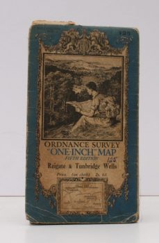
ORDANCE SURVEY
Ordnance Survey One-Inch Map
Fifth Edition. Reigate & Tunbridge Wells. Sheet 125.
Read more details -
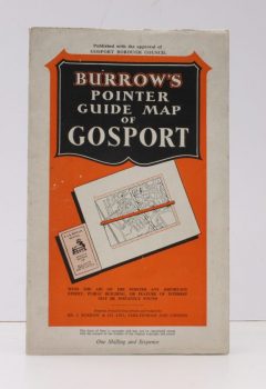
GOSPORT.
Burrows Pointer Guide Map of Gosport including Lee-on-the-Solent & Stokes Bay
Read more details -
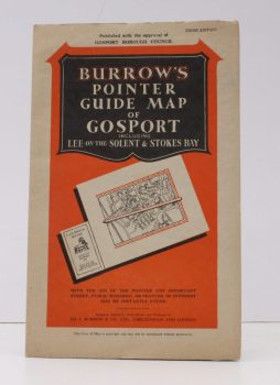
GOSPORT.
Burrows Pointer Guide Map of Gosport including Lee-on-the-Solent & Stokes Bay
Third Edition.
Read more details -

BOOKER, J.
Memorials of the Church in Prestwich
Being a Contribution towards the History of the Parent Church of the Parish. .
Read more details -
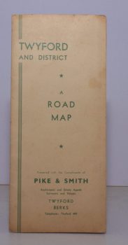
TWYFORD
Road Map of Twyford and District
Presented with the Compliments of Pike & Smith of Twyford.
Read more details -
-
-
SEREL, Thomas
Historical Notes on the Church of Saint Cuthbert, in Wells; the Priory of St. John, College of La Mountery, and Chapels formerly at Southover, Southway, Polsham, and Chilcote
Read more details -

Topography
England
Books are listed by county following the boundaries defined in the Local Government Act 1888. Islands are included in the nearest mainland county (eg. Cornwall & Isles of Scilly).
Ireland, Scotland, Wales.
Books are arranged by country.