-
-
-
PLANCHE, J.R.
A Corner of Kent; or, some Account of the Parish of Ash-next-Sandwich, its Historical Sites and Existing Antiquities
Read more details -
-
-
READ, D.H.M.
Highways and Byways in Hampshire
With Illustrations by Arthur B. Connor.
Read more details -
-
-

-
-
-
-
-
-

-
-
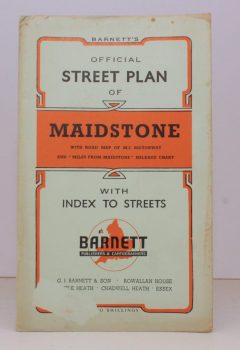
MAIDSTONE
Barnett’s Official Street Plan of Maidstone
With Road Map of M2 Motorway and 'Miles from Maidstone' Mileage Chart.
Read more details -
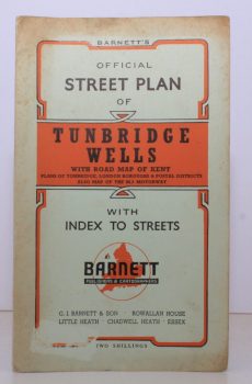
TUNBRIDGE WELLS.
Barnett’s Official Street Plan of Tunbridge Wells
With Road Map of Kent, Plans of Tonbridge, London Boroughs & Postale Districts. Also Map of the M2 Motorway.
Read more details -

-
CUDWORTH, W.
Round about Bradford
A Series of Sketches (descriptive and semi-historical) of Forty-Two Places within Six Miles of Bradford.
Read more details -
-

-

HUTTON, W. H.
Highways and Byways in Shakespeare’s Country
With Illustrations by Edmund H. New.
Read more details -
-

Topography
England
Books are listed by county following the boundaries defined in the Local Government Act 1888. Islands are included in the nearest mainland county (eg. Cornwall & Isles of Scilly).
Ireland, Scotland, Wales.
Books are arranged by country.