-
REDFERN, P.
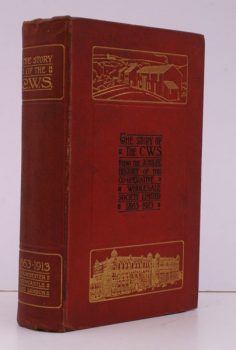
The Story of the C.W.S
The Jubilee History of the Co-Operative Wholesale Society Limited: 1863-1913. With three Diagrams illustrative of Economic History from 1860 to 1912 by G.H. Wood.
Read more details -
-

-
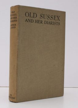
REES, Arthur J.
Old Sussex and her Diarists
With Sketches after the Originals by the Author.
Read more details -
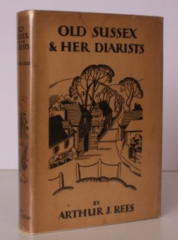
REES, Arthur J.
Old Sussex and her Diarists
With Sketches after the Originals by the Author.
Read more details -
-
-
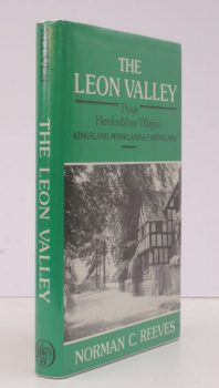
REEVES, N.C.
The Leon Valley
Three Herefordshire Villages. Kingsland, Monkland & Eardisland.
Read more details -

-

-
-
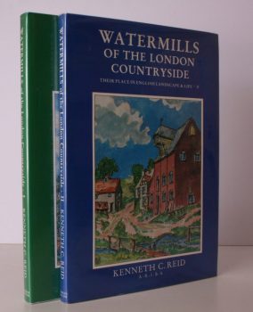
REID, Kenneth C
Watermills of the London Countryside
Their Place in English Landscape and Life. [Complete set.]
Read more details -
-
-
-
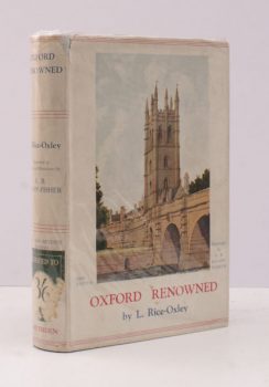
RICE-OXLEY, L.
Oxford Renowned
Illustrated in Colour and Monotone by A.B. Knapp-Fisher. [Second Edition].
Read more details -

-
-
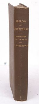
RICHARDSON, L.
A Handbook to the Geology of Cheltenham and Neighbourhood
Handbook to the Geology of Cheltenham and Neighbourhood.
Read more details -
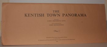
RICHARDSON, John
The Kentish Town Panorama. Drawn by James Frederick King. With a Commentary by John Richardson
Read more details -
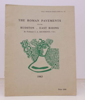
RICHMOND, Professor Ian A.
Hull Museum Publication No. 215
The Roman Pavements at Rudston, East Riding.
Read more details -
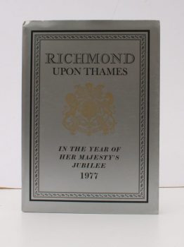
RICHMOND UPON THAMES.
The Heritage of Richmond upon Thames in the Year of Her Majesty’s Jubilee
Read more details -
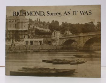
RICHMOND, SURREY.
Richmond, Surrey, as it was
A Selection of Victorian and Edwardian Photographs compiled and annotated by the Historical and Arachaeological Section of the Richmond Society. [Second Impression].
Read more details -
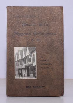
RICKWORD, George
Social Life in Bygone Colchester from the Revolution to the Municipal Reform Act
Being a Series of Sketches contributed to 'The Essex County Telegraph'.
Read more details -
RIDGWAY, R.
A Short History of Kensington and Past Notabilities of Kensington
Short History of Kensington and Past Notabilities of Kensington.
Read more details
Topography
England
Books are listed by county following the boundaries defined in the Local Government Act 1888. Islands are included in the nearest mainland county (eg. Cornwall & Isles of Scilly).
Ireland, Scotland, Wales.
Books are arranged by country.