-
-
-
-

DOWDING, M.K.
Old Wiltshire Market Towns and Villages
Illustrated by M.E. Sargent.
Read more details -
-
-

-
-
-
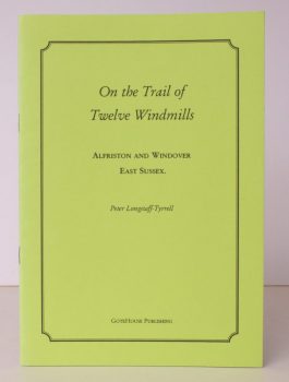
LONGSTAFF-TYRRELL, Peter
On the Trail of Twelve Windmills
Alfriston and Windover, East Sussex.
Read more details -
-
-
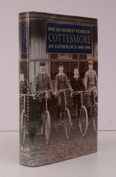
ROGERSON, ed., Barnaby
One Hundred Years of Cottesmore
An Anthology 1894-1994. Edited by Barnaby Rogerson.
Read more details -
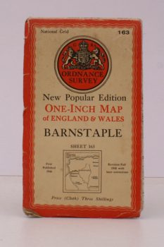
ORDNANCE SURVEY
One-Inch Map. Barnstaple. Sheet 163
New Popu ar Edition. [With Ellis Martin cover].
Read more details -
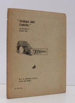
MITCHINER, James Henry
Oranges and Lemons
An Old Ditty of London Citie. Second Edition.
Read more details -
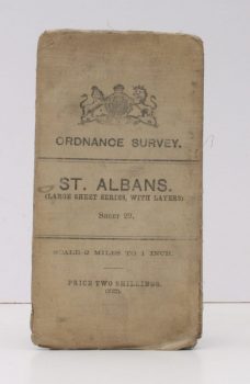
ORDNANCE SURVEY
Ordnance Survey
St. Albans. (Large Sheet Series with Layers). Sheet 29. Scale: Two Miles to One Inch.
Read more details -
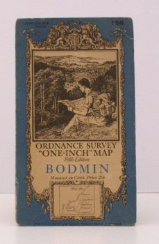
ORDNANCE SURVEY
Ordnance Survey ‘One-Inch’ Map. Fifth Edition. Bodmin
Sheet 136. [Scale: One Inch to One Mile].
Read more details -
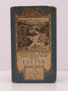
ORDNANCE SURVEY
Ordnance Survey ‘One-Inch’ Map. Fifth Edition. Exeter
Sheet 138. [Scale: One Inch to One Mile].
Read more details -
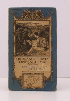
ORDNANCE SURVEY
Ordnance Survey ‘One-Inch’ Map. Fifth Edition. Truro and St. Austell
Sheet 143. [Scale: One Inch to One Mile].
Read more details -
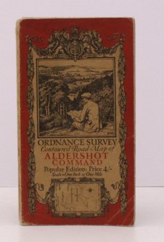
ORDNANCE SURVEY
Ordnance Survey Contoured Road Map of Aldershot Command
Popular Edition. Scale: One Inch to One Mile.
Read more details -
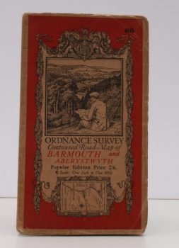
ORDNANCE SURVEY
Ordnance Survey Contoured Road Map of Barmouth and Aberystwyth
Popular Edition. Sheet 68. Scale: One Inch to to One Mile.
Read more details -
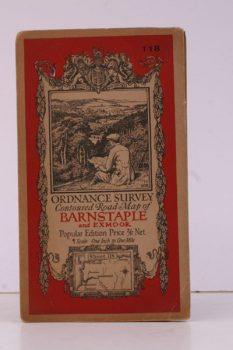
ORDNANCE SURVEY
Ordnance Survey Contoured Road Map of Barnstaple and Exmoor
Popular Edition. One Inch, Sheet 118. [Ellis Martin cover].
Read more details -
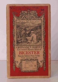
ORDNANCE SURVEY
Ordnance Survey Contoured Road Map of Bicester
Popular Edition. One Inch, Sheet 94. [Ellis Martin cover].
Read more details -
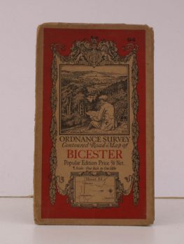
ORDNANCE SURVEY
Ordnance Survey Contoured Road Map of Bicester
Sheet 94. Scale: One Inch to to One Mile.
Read more details -
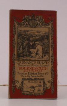
ORDNANCE SURVEY
Ordnance Survey Contoured Road Map of Bournemouth and Swanage
Sheet 141. Scale: One Inch to to One Mile.
Read more details
Topography
England
Books are listed by county following the boundaries defined in the Local Government Act 1888. Islands are included in the nearest mainland county (eg. Cornwall & Isles of Scilly).
Ireland, Scotland, Wales.
Books are arranged by country.