-
-
-
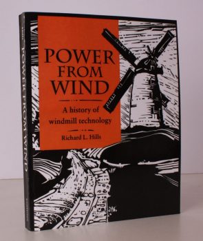
HILLS, Richard L.
Power from Wind
A History of Windmill Technology. [First Paperback Edition.]
Read more details -
-

-
-

-

DYER, Colin
The Guild of Freeemen of the City of London
A Record of its Formation and History.
Read more details -
WORDSWORTH, Christopher
The Old Service-Books of the English Church
[Antiquary's Books].
Read more details -
-
-

-

HAWLEY (ed.), C.D.
List of Antiquities in the Administrative County of Surrey
With a General Introduction and Photographic Illustrations. Presented by the Records and Ancient Monuments Committee. Fourth Edition.
Read more details -
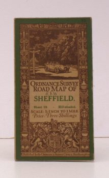
ORDNANCE SURVEY
Ordnance Survey Road Map of Sheffield
Sheet 13. Hill-Shaded. Scale: Half-Inch to One Mile.
Read more details -
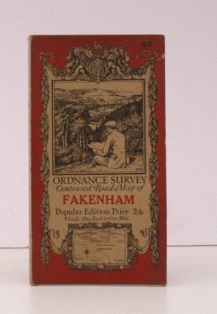
ORDNANCE SURVEY
Ordnance Survey Contoured Road Map of Fakenham
Sheet 57. Popular Edition. Scale: One Inch to One Mile.
Read more details -
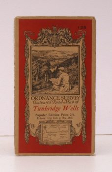
ORDNANCE SURVEY
Ordnance Survey Contoured Road Map of Tunbridge Wells
Sheet 125. Popular Edition. Scale: One Inch to One Mile.
Read more details -
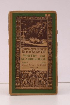
ORDNANCE SURVEY
Ordnance Survey Road Map of Whitby and Scarborough
Sheet 7. Layers. Scale: Half-Inch to One Mile.
Read more details -
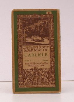
ORDNANCE SURVEY
Ordnance Survey Road Map of Carlisle
Sheet 2. Layers. Scale: Half-Inch to One Mile.
Read more details -
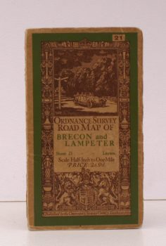
ORDNANCE SURVEY
Ordnance Survey Road Map of Brecon and Lampeter
Sheet 21. Layers. Scale: Half-Inch to One Mile.
Read more details -
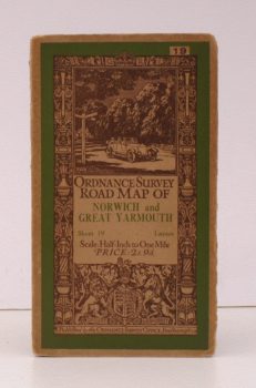
ORDNANCE SURVEY
Ordnance Survey Road Map of Norwich and Great Yarmouth
Sheet 19. Layers. Scale: Half-Inch to One Mile.
Read more details -
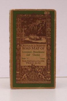
ORDNANCE SURVEY
Ordnance Survey Road Map of Liverpool, Manchester and Chester
Sheet 12. Layers. Scale: Half-Inch to One Mile.
Read more details -
-
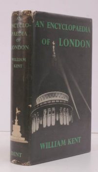
KENT, William
An Encyclopaedia of London
[Revised Edition]. '[Festival of Britain' edition].
Read more details -
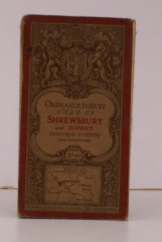
ORDNANCE SURVEY
Ordnance Survey Map of Shrewsbury and District
Sheet 61. Coloured Edition. Scale: One Inch to to One Mile.
Read more details -
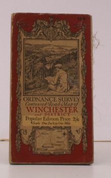
ORDNANCE SURVEY
Ordnance Survey Contoured Road Map of Winchester and District
Sheet 123. Popular Edition. Scale: One Inch to to One Mile.
Read more details
Topography
England
Books are listed by county following the boundaries defined in the Local Government Act 1888. Islands are included in the nearest mainland county (eg. Cornwall & Isles of Scilly).
Ireland, Scotland, Wales.
Books are arranged by country.