-

-
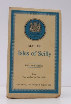
ORDNANCE SURVEY
Ordnance Survey Map of Isles of Scilly
Fifth Relief Edition. Scale: Two Inches to One Mile.
Read more details -
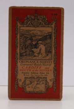
ORDNANCE SURVEY
Ordnance Survey Contoured Road Map of Cardiff and Mouth of the Severn
Popular Edition. Sheet 110. Scale: One Inch to to One Mile.
Read more details -
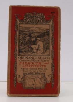
ORDNANCE SURVEY
Ordnance Survey Contoured Road Map of Barmouth and Aberystwyth
Popular Edition. Sheet 68. Scale: One Inch to to One Mile.
Read more details -
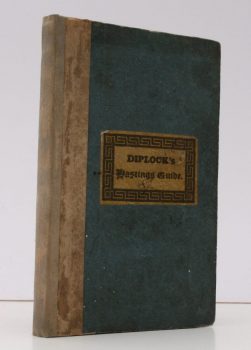
DIPLOCK, William
The Hastings Guide; containing a Description of that Ancient Town and Port
and the Romantic Scenery in the Environs. With a Table of Distances, an Account of the Cinque Ports and a minute Detail of the famous Battle of Hastings. The Sixth Edition, with considerable Alterations and Additions.
Read more details -
-
WILSON, Roger J.A
A Guide to the Roman Remains in Britain
With a Foreword by Professor J M C Toynbee.
Read more details -

-

-

-

-

HUTTON, Edward
Highways and Byways in Somerset
With Illustrations by Nelly Erichsen.
Read more details -

-

MEE, Arthur
The King’s England. Essex
Fully revised and edited by E.T.Long. Illustrated with new Photographs by A.F. Kersting.
Read more details -

PATTERSON, Arthur H
Nature in Eastern Norfolk
With coloured Illustrations by Frank Southgate. Second Edition.
Read more details -

-
DAHL, Louis H
The Roman Camp and the Irish Saint at Burgh Castle
With Local History.
Read more details -

STAFFORD
The Victoria History of the County of Stafford. Volume III [only]
Edited by M.W. Greenslade.
Read more details -

MIDDLESEX
The Victoria History of the County of Middlesex
Volume I [only]. Edited by J.S. Cockburn, H.P.F. King and K.G.T. McDaniell.
Read more details -

SOMERS, ed., Frank
Halesowen Churchwardens’ Accounts (1487-1582)
Transcribed by E.H. Sargeant. [Introduction by Mrs. Margaret O'Brien.] Part III. [This part only].
Read more details -
-
-

MEE, Arthur
The King’s England. London: The City and Westminster
Fully revised and rewritten by Ann Saunders. Illustrated with new Photographs by A.F. Kersting. [Revised Edition.]
Read more details -

-

Topography
England
Books are listed by county following the boundaries defined in the Local Government Act 1888. Islands are included in the nearest mainland county (eg. Cornwall & Isles of Scilly).
Ireland, Scotland, Wales.
Books are arranged by country.