-

WARD LOCK RED GUIDE
Guide to the English Lake District
With an Outline Guide for Walkers and a Special Section for Motorists. Twenty-Fifth Edition.
Read more details -

WARD LOCK RED GUIDE
Guide to Western Scotland, Oban, Fort William, Skye and the Hebrides
Read more details -

WARD LOCK RED GUIDE
A Pictorial and Descriptive Guide to the Isle of Man
Appendix for Anglers. Seventh Edition.
Read more details -

WARD LOCK RED GUIDE
A Pictorial and Descriptive Guide to the English Lake District
With an Outline Guide for Walkers and a Special Section for Motorists. Twenty-Second Edition.
Read more details -

BRABANT, Frederick Gaspard
The English Lakes
Illustrated by Edmund H New. [Second Edition.]
Read more details -

-

-

-

-

-
-
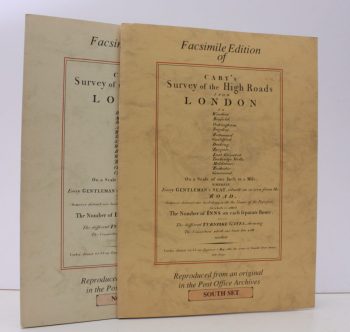
CARY, John
Survey of the High Roads from London, 1790. [North and South sets]
[Facsimile reissue]
Read more details -
-

-
-
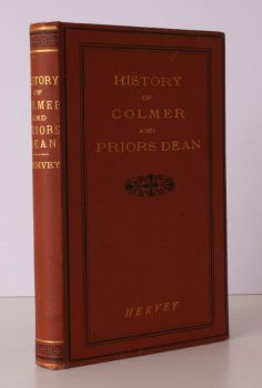
HERVEY, Rev. Thomas
A Short History of Colmer and Priors Dean in the County of Hampshire
Taken from the larger Edition.
Read more details -

READ, D.H. Moutray
Highways and Byways in Hampshire
With Illustrations by Arthur B. Connor. [Pocket Edition].
Read more details -

CALVERT, Frederick
The Isle of Wight Illustrated in a Series of Coloured Views
engraved in Aqua-tint by Mr. Percy Roberts from the original Drawings of the late Mr. F. Calvert, accompanied by a succinct historical, geographical and topographical Description of the Island.
Read more details -

D., G.M.
James Cross. Vicar of the Peculiar of Sturminster Marshall, 1877-1931
A Sidelight by G.M.D. [Gerald Marchant Davis.]
Read more details -

DYER, Colin
The Guild of Freeemen of the City of London
A Record of its Formation and History.
Read more details -

ERREDGE, John Ackerson
History of Brighthelmston, or Brighton as I view it and Others knew it, with a Chronological Table of Local Events
Read more details -
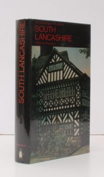
PEVSNER, Nikolaus
The Buildings of England. Lancashire 1. The Industrial and Commercial South
Read more details -
-
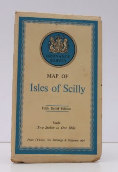
ORDNANCE SURVEY
Ordnance Survey Map of Isles of Scilly
Fifth Relief Edition. Scale: Two Inches to One Mile.
Read more details -
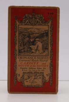
ORDNANCE SURVEY
Ordnance Survey Contoured Road Map of Cardiff and Mouth of the Severn
Popular Edition. Sheet 110. Scale: One Inch to to One Mile.
Read more details
Topography
England
Books are listed by county following the boundaries defined in the Local Government Act 1888. Islands are included in the nearest mainland county (eg. Cornwall & Isles of Scilly).
Ireland, Scotland, Wales.
Books are arranged by country.