-
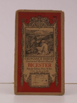
ORDNANCE SURVEY
Ordnance Survey Contoured Road Map of Bicester
Sheet 94. Scale: One Inch to to One Mile.
Read more details -
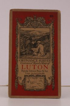
ORDNANCE SURVEY
Ordnance Survey Contoured Road Map of Luton
Sheet 95. Scale: One Inch to to One Mile.
Read more details -
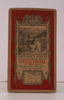
ORDNANCE SURVEY
Ordnance Survey Contoured Road Map of Wells, Frome and District
Sheet 121. Scale: One Inch to to One Mile.
Read more details -
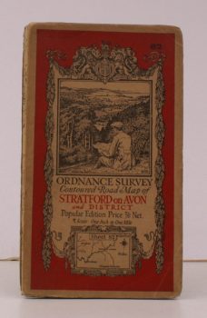
ORDNANCE SURVEY
Ordnance Survey Contoured Road Map of Stratford-on-Avon and District
Sheet 82. Scale: One Inch to to One Mile.
Read more details -
ORDNANCE SURVEY
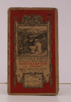
Ordnance Survey Contoured Road Map of Northampton and District
Sheet 83. Scale: One Inch to to One Mile.
Read more details -
ORDNANCE SURVEY
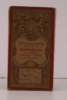
Ordnance Survey Map of Shrewsbury and District
Sheet 61. Coloured Edition. Scale: One Inch to to One Mile.
Read more details -
ORDNANCE SURVEY
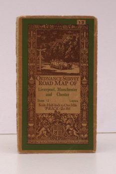
Ordnance Survey Road Map of Liverpool, Manchester and Chester
Sheet 12. Layers. Scale: Half-Inch to One Mile.
Read more details -
ORDNANCE SURVEY
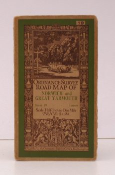
Ordnance Survey Road Map of Norwich and Great Yarmouth
Sheet 19. Layers. Scale: Half-Inch to One Mile.
Read more details -
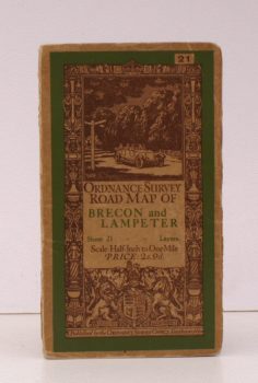
ORDNANCE SURVEY
Ordnance Survey Road Map of Brecon and Lampeter
Sheet 21. Layers. Scale: Half-Inch to One Mile.
Read more details -
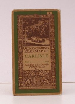
ORDNANCE SURVEY
Ordnance Survey Road Map of Carlisle
Sheet 2. Layers. Scale: Half-Inch to One Mile.
Read more details -
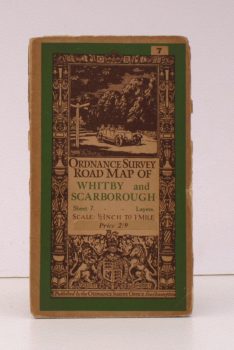
ORDNANCE SURVEY
Ordnance Survey Road Map of Whitby and Scarborough
Sheet 7. Layers. Scale: Half-Inch to One Mile.
Read more details -
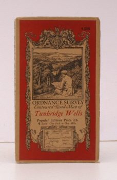
ORDNANCE SURVEY
Ordnance Survey Contoured Road Map of Tunbridge Wells
Sheet 125. Popular Edition. Scale: One Inch to One Mile.
Read more details -
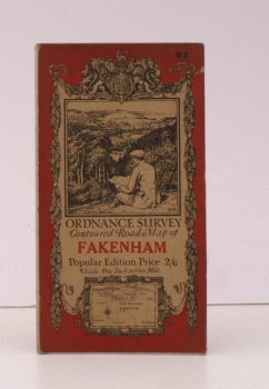
ORDNANCE SURVEY
Ordnance Survey Contoured Road Map of Fakenham
Sheet 57. Popular Edition. Scale: One Inch to One Mile.
Read more details -
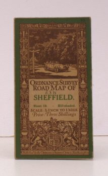
ORDNANCE SURVEY
Ordnance Survey Road Map of Sheffield
Sheet 13. Hill-Shaded. Scale: Half-Inch to One Mile.
Read more details -
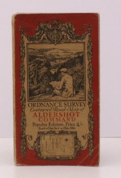
ORDNANCE SURVEY
Ordnance Survey Contoured Road Map of Aldershot Command
Popular Edition. Scale: One Inch to One Mile.
Read more details -
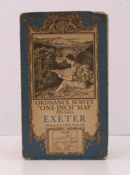
ORDNANCE SURVEY
Ordnance Survey ‘One-Inch’ Map. Fifth Edition. Exeter
Sheet 138. [Scale: One Inch to One Mile].
Read more details -
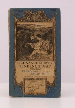
ORDNANCE SURVEY
Ordnance Survey ‘One-Inch’ Map. Fifth Edition. Truro and St. Austell
Sheet 143. [Scale: One Inch to One Mile].
Read more details -
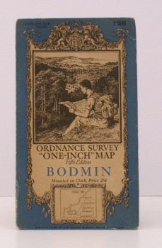
ORDNANCE SURVEY
Ordnance Survey ‘One-Inch’ Map. Fifth Edition. Bodmin
Sheet 136. [Scale: One Inch to One Mile].
Read more details -

ORDNANCE SURVEY
Wales and the Marches. Quarter Inch Map
[Quarter-Inch Fifth Series Special Sheet. Scale: Quarter-Inch to One Mile].
Read more details -
-
ORDNANCE SURVEY
Ordnance Survey. [Carlisle. Newcastle upon Tyne]
Sheet 1. Scale: Quarter Inch to One Mile.
Read more details -
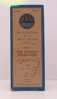
ORDNANCE SURVEY
Ordnance Survey.Quarter-Inch Map. The Eastern Highlands
Fourth Edition with National Grid. Sheet 5. [Scale: Quarter-Inch to One Mile].
Read more details -
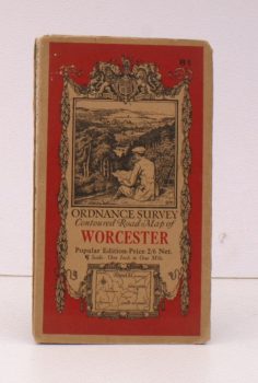
ORDNANCE SURVEY
Ordnance Survey Contoured Road Map of Worcester
Popular Edition. Sheet 81. Scale: One Inch to One Mile.
Read more details -
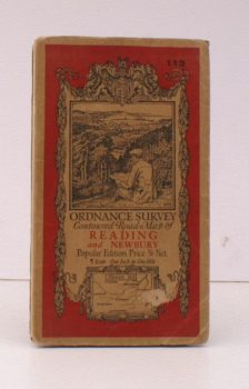
ORDNANCE SURVEY
Ordnance Survey Contoured Road Map of Reading and Newbury
Popular Edition. Sheet 113 Scale: One Inch to One Mile.
Read more details -
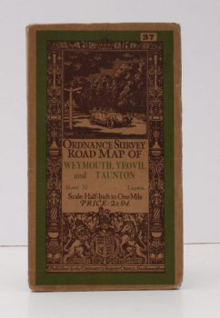
ORDNANCE SURVEY
Ordnance Survey Road Map of Weymouth, Yeovil and Taunton
Sheet 37. Layers. Scale 1/2 Inch to One Mile.
Read more details