-
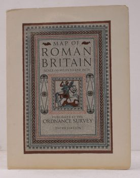
ORDNANCE SURVEY
Map of Roman Britain (Third Edition)
Scale: Sixteen Miles to One Inch.
Read more details -
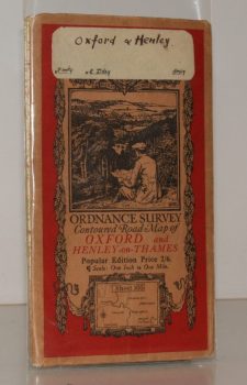
ORDNANCE SURVEY
Ordnance Survey Contoured Road Map of Oxford and Henley-on-Thames
Popular Edition. Sheet 105. Scale: One Inch to to One Mile.
Read more details -
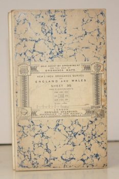
ORDNANCE SURVEY
New 1 Inch Ordnance Survey of England and Wales. Sheet 315 [Southampton]
[Third Series.]
Read more details -
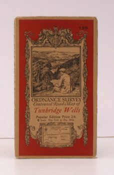
ORDNANCE SURVEY
Ordnance Survey Contoured Road Map of Tunbridge Wells
Sheet 125. Popular Edition. Scale: One Inch to One Mile.
Read more details -
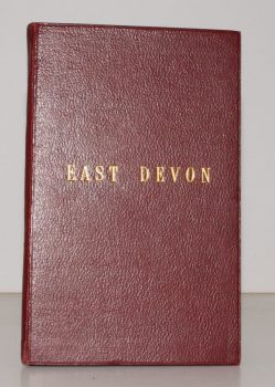
STANFORD'S MAP OF EAST DEVON
Stanford’s Map of East Devon
[Scale One Inch to One Statute Mile.]
Read more details -
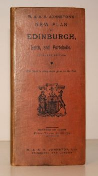
W & A K JOHNSTON
W & A K Johnstons’s New Plan of Edinburgh, Leith and Portobello [with Suburbs]. Coloured Edition. With Index to every Name given on the Plan
[Constructed from Ordnance and Private Surveys.]
Read more details -
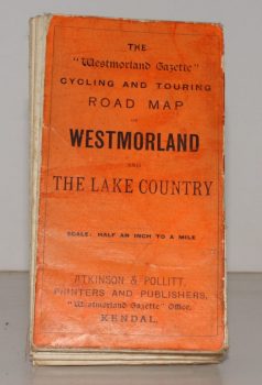
WESTMORLAND AND LAKE COUNTRY.
The ‘Westmorland Gazette’ Cycling and Touring Map of Westmorland and the Lake Country
Scale Half an Inch to a Mile.
Read more details -

WHITBREAD, Josiah
Whitbread’s Map of London extending Four Miles round Charing Cross
Read more details