-
MAWER, A.
The Place-Names of Sussex
With the Assistance of J.E.B. Gover. [English Place-Name Society, Vols. VI and VII].
Read more details -
HAY, Alexander
The History of Chichester, interpersed with Notes and Observations on the Early and Present State of the City, the most remarkable Places in its Vicinity, and the County of Sussex in General
Read more details -
MEE, Arthur
The King’s England. Devon
Fully revised and edited by E.T. Long. Illustrated with new Photographs by A.F. Kersting. [Revised Edition].
Read more details -
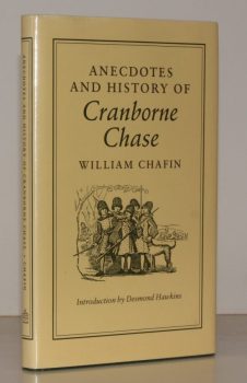
CHAFIN, William
Anecdotes and History of Cranborne Chase
Introduction by Desmond Hawkins. [Facsimile reissue.]
Read more details -
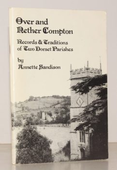
SANDISON, Annette
Over and Nether Compton. Records and Traditions of Two Dorset Parishes
Read more details -
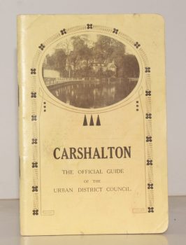
THORNTON, D. Garth
Carshalton. [The Official Guide of the Urban District Council.]
Read more details -
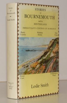
SMITH, C. Leslie W.
Stories of Bournemouth and its Hinterland. Hardy Country. Wiltshire Downs. New Forest. Immaculate Centres of Romance
Read more details -
WARD LOCK RED GUIDE
Guide to Bideford, Clovelly, Westward Ho!, Barnstaple, Ilfracombe and North-West Devon
Special Section for Motorists. Fifteenth Edition.
Read more details -
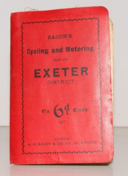
CYCLING & MOTORING MAP OF EXETER DISTRICT
Bacon’s Cycling and Motoring Map of Exeter District[Cycling and Touring] Map of 60 Miles South of London, including Worthing, Brighton, Hastings, etc.
Scale Half an Inch to One Mile.
Read more details -
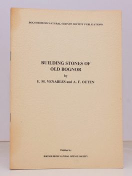
VENABLES, E. M.
Building Stones of Old Bognor
With Geological and Historical Sketches.
Read more details -
WARD LOCK RED GUIDE
Guide to the Cotswolds. With Special Sections on Natural Life and Antiquities by H.J. Massingham and Architecture by Clough Williams-Ellis.
Third Edition.
Read more details -
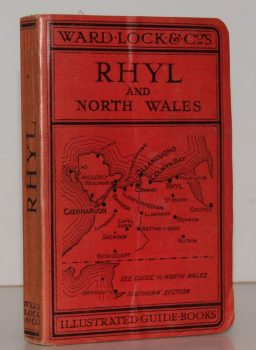
WARD LOCK RED GUIDE
A Pictorial and Descriptive Guide to Rhyl and North Wales (Northern Section). Special Section for Motorists
Eleventh Edition, revised.
Read more details -
COOKE, E. W.
Old and New London Bridge. A Selection of Drawings reproduced from Originals in the Possession of the Guildhall Art Gallery
Read more details
Topography
England
Books are listed by county following the boundaries defined in the Local Government Act 1888. Islands are included in the nearest mainland county (eg. Cornwall & Isles of Scilly).
Ireland, Scotland, Wales.
Books are arranged by country.
