-
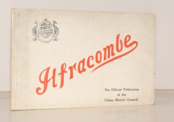
PENNELL, Maude
Ilfracombe
Published for the Urban District Council by the Health Resorts Association
Read more details -
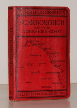
WARD LOCK RED GUIDE
Guide to Scarborough and the Yorkshire Coast, including Robin Hood’s Bay, Whitby, Filey, Flamborough and Bridlington
Eleventh Edition, revised.
Read more details -
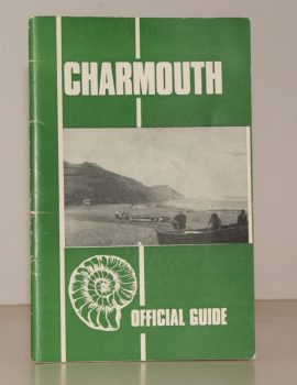
CHARMOUTH
Charmouth. The Official Guide. Published by the Charmouth Parish Council
Photographs by M.R. Davis. Text by E. Long.
Read more details -
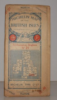
MICHELIN MAP SOUTHAMPTON - BRIGHTON
Michelin Map of the British Isles. No. 21. Southampton – Brighton
[Scale 3.15 miles to an Inch.]
Read more details -
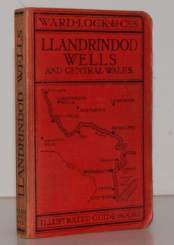
WARD LOCK RED GUIDE
A Pictorial and Descriptive Guide to Llandrindod Wells and the Wye Valley, including Builth Wells, Llanwrtyd Wells and Llangammarch Wells, Rhayader and the Birmingham Waterworks
With a Special Section for Motorists and Notes on Angling, etc. Ninth Edition.
Read more details -
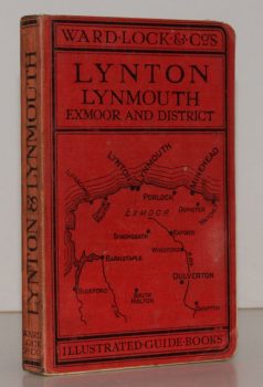
WARD LOCK RED GUIDE
A Pictorial and Descriptive Guide to Lynton, Lynmouth, Exmoor, Minehead and the Land of ‘Lorna Doone’. Special Section for Motorists
Twelfth Edition, revised.
Read more details -
RICHARDSON, John
The Kentish Town Panorama. Drawn by James Frederick King. With a Commentary by John Richardson
Read more details -
ORDNANCE SURVEY
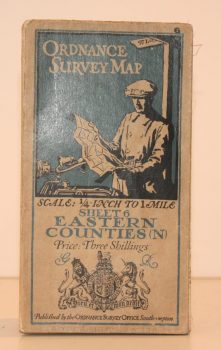
Ordnance Survey One Quarter-Inch Map. Eastern Counties (N)
Sheet 6. [Third Edition.] Scale: One-Quarter Inch to to One Mile.
Read more details -
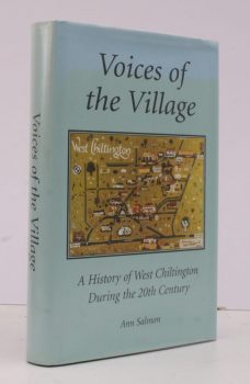
SALMON, Ann
Voices of the Village
A History of West Chiltington during the Twentieth Century.
Read more details -
SCOTT, Martin
The Restoration of Windmills and Windpumps in Norfolk
Research and Text by Martin Scott. Book Design and Drawings by Mel Harris.
Read more details -
[WEST SUSSEX], Act of Parliament
An Act for Exchanging parts of the Settled Estates of Charles Duke of Norfolk for Fee Simple Estates of Charles Goring [of Wiston Park]
Read more details
Topography
England
Books are listed by county following the boundaries defined in the Local Government Act 1888. Islands are included in the nearest mainland county (eg. Cornwall & Isles of Scilly).
Ireland, Scotland, Wales.
Books are arranged by country.
