-
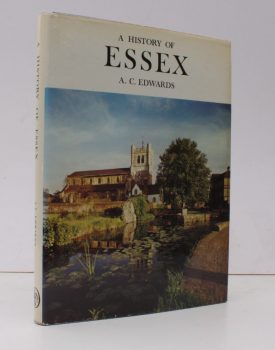
EDWARDS, A.C.
A History of Essex
Drawings by Carolyn Lockwood. Darwen County History series. [Fourth Edition.]
Read more details -
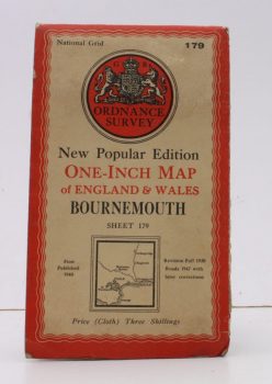
ORDNANCE SURVEY
Ordnance Survey One-Inch Map of Bournemouth
New Popular Edition. Sheet 179. Scale: One Inch to to One Mile.
Read more details -
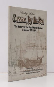
ROYAL NAVAL RESERVE.
Sussex Sunday Sailors by the Sea
The History of the Royal Naval Reserve in Sussex 1874-1974. Foreword by Admiral Sir Terence Lewin.
Read more details -
LOVEGROVE, H.
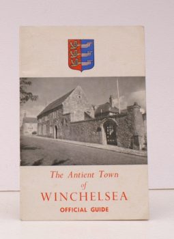
The Official Guide to the Antient Town of Winchelsea
Photographs by A.W. Bulley. [Fifth Edition].
Read more details -
PYATT, Edward C
Chalkways of South and South-East England
Maps compiled by Gillian Pyatt.
Read more details -
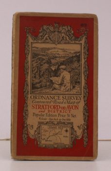
ORDNANCE SURVEY
Ordnance Survey Contoured Road Map of Stratford-on-Avon and District
Sheet 82. Scale: One Inch to to One Mile.
Read more details -
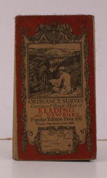
ORDNANCE SURVEY
Ordnance Survey Contoured Road Map of Reading and Newbury
Sheet 113. Popular Edition. Scale: One Inch to to One Mile.
Read more details -
CHADWICK, John C.
The Unusual Guide to Salisbury
Illustrated by John Cooper, Nigel Clarke.
Read more details -
FIELDGATES, CODMORE HILL
Fieldgates, Codmore Hill, near Pulborough
Catalogue of the Household Furniture and Effects. 6 November 1963.
Read more details -
GORE HILL, PETWORTH
Gore Hill, Petworth
Catalogue of the Residence. 28-29 March 1968.
Read more details -
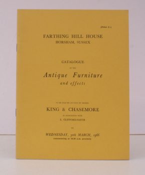
FARTHING HILL HOUSE
Farthing Hill House, Horsham Sussex
Catalogue of the Antique Furniture and Effects. 30 March 1966.
Read more details
Topography
England
Books are listed by county following the boundaries defined in the Local Government Act 1888. Islands are included in the nearest mainland county (eg. Cornwall & Isles of Scilly).
Ireland, Scotland, Wales.
Books are arranged by country.
