-

WARD LOCK RED GUIDE
Guide to the English Lake District
With an Outline Guide for Walkers and a Special Section for Motorists. Twenty-Fifth Edition.
Read more details -

WARD LOCK RED GUIDE
A Pictorial and Descriptive Guide to the Isle of Man
Appendix for Anglers. Seventh Edition.
Read more details -

BRABANT, Frederick Gaspard
The English Lakes
Illustrated by Edmund H New. [Second Edition.]
Read more details -

-

-

-

-
-
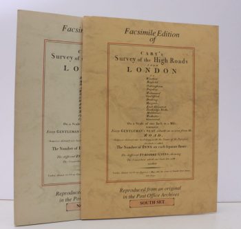
CARY, John
Survey of the High Roads from London, 1790. [North and South sets]
[Facsimile reissue]
Read more details -
-

-
-
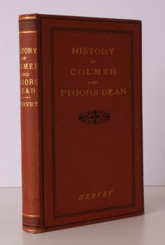
HERVEY, Rev. Thomas
A Short History of Colmer and Priors Dean in the County of Hampshire
Taken from the larger Edition.
Read more details -

READ, D.H. Moutray
Highways and Byways in Hampshire
With Illustrations by Arthur B. Connor. [Pocket Edition].
Read more details -

CALVERT, Frederick
The Isle of Wight Illustrated in a Series of Coloured Views
engraved in Aqua-tint by Mr. Percy Roberts from the original Drawings of the late Mr. F. Calvert, accompanied by a succinct historical, geographical and topographical Description of the Island.
Read more details -

D., G.M.
James Cross. Vicar of the Peculiar of Sturminster Marshall, 1877-1931
A Sidelight by G.M.D. [Gerald Marchant Davis.]
Read more details -

DYER, Colin
The Guild of Freeemen of the City of London
A Record of its Formation and History.
Read more details -
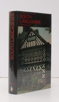
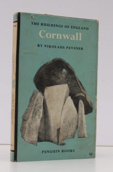
PEVSNER, Nikolaus
The Buildings of England. Lancashire 1. The Industrial and Commercial South
Read more details -

-
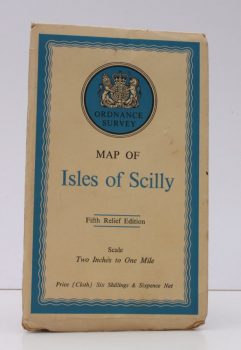
ORDNANCE SURVEY
Ordnance Survey Map of Isles of Scilly
Fifth Relief Edition. Scale: Two Inches to One Mile.
Read more details -
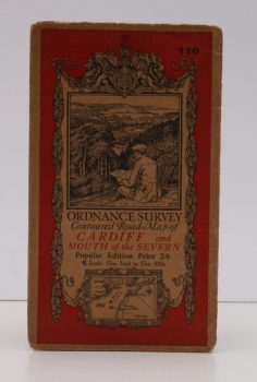
ORDNANCE SURVEY
Ordnance Survey Contoured Road Map of Cardiff and Mouth of the Severn
Popular Edition. Sheet 110. Scale: One Inch to to One Mile.
Read more details -
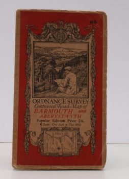
ORDNANCE SURVEY
Ordnance Survey Contoured Road Map of Barmouth and Aberystwyth
Popular Edition. Sheet 68. Scale: One Inch to to One Mile.
Read more details -
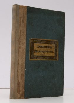
DIPLOCK, William
The Hastings Guide; containing a Description of that Ancient Town and Port
and the Romantic Scenery in the Environs. With a Table of Distances, an Account of the Cinque Ports and a minute Detail of the famous Battle of Hastings. The Sixth Edition, with considerable Alterations and Additions.
Read more details -
-
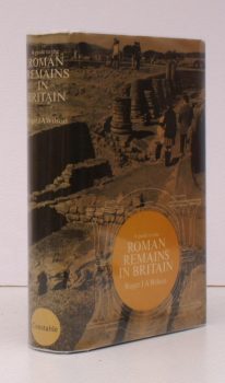
WILSON, Roger J.A
A Guide to the Roman Remains in Britain
With a Foreword by Professor J M C Toynbee.
Read more details
Topography
England
Books are listed by county following the boundaries defined in the Local Government Act 1888. Islands are included in the nearest mainland county (eg. Cornwall & Isles of Scilly).
Ireland, Scotland, Wales.
Books are arranged by country.