-
-
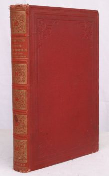
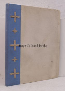
PALLISER, Mme. B.
Histoire de la Dentelle
Traduit par La Comtesse Gedeon de Clermont-Tonnerre.
Read more details -
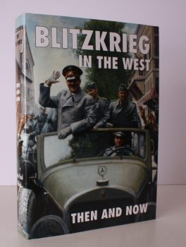
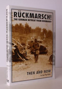
PALLUD, Jean Paul
Blitzkrieg in the West Then and Now
Edited by Winston G. Ramsey.
Read more details -
-

-
-
PALMER, R.L.
English Monasteries in the Middle Ages
An Outline of Monastic Architecture and Custom from the Conquest to the Suppression.
Read more details -
-
PALMER, John
Luck on my Side
The Diaries and Reflections of a Young Wartime Sailor 1939-1945.
Read more details -
-
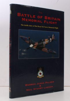
PALMER, Warren James
The Battle of Britain Memorial Flight
The Inside Story of the Royal Air Force Memorial Flight. [Foreword by Rick Groombridge].
Read more details -
-
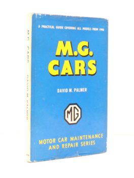
PALMER, David M.
M.G. Cars
A Practical Guide to Maintenance and Repair covering Models from 1946. [Third Edition].
Read more details -
-

-

-

-
-

-

-
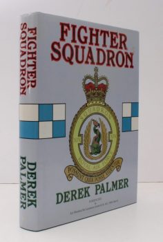
PALMER, Derek
[No. 19] Fighter Squadron
[Foreword by Air Marshal Sir Laurence Jones].
Read more details -
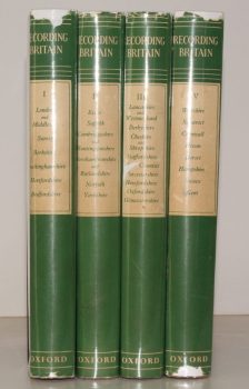
PALMER, ed., Arnold
Recording Britain. [A Permanent Memorial of the Changing Face of Britain by 95 well-known Artists.]
[Edited, with Notes, by Arnold Palmer.]
Read more details -

-
PALTOCK, Robert
The Life and Adventures of Peter Wilkins
[With an Introduction by A. H. Bullen.]
Read more details -

PAM, David
A History of Enfield. [Comprising:] A Parish near London [with] A Victorian Suburb [with] A Desirable Place to Live [with] A Time of Change. [Complete set.]
Read more details