-
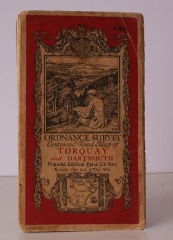
ORDNANCE SURVEY
Ordnance Survey One-Inch Map. Torquay and Dartmouth
Popular Edition. Sheet 145. Scale: One Inch to to One Mile.
Read more details -
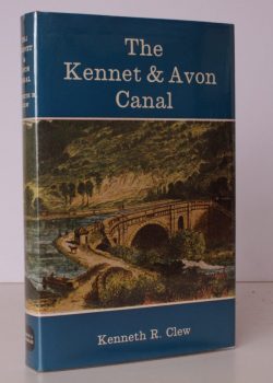
CLEW, Kenneth R.
The Kennet and Avon Canal. An Illustrated History
With Foreword by Charles Hadfield. [Second Edition.]
Read more details -
SISSON], [Rosemary Anne
The Parish Church of St. Mary Magdalene, Lyminster
[Second Impression.]
Read more details -
COLLINS, Brian
Old Crumlin to Pontyminster in Photographs. Volume Two
Foreword by Councillor J H A Roberts.
Read more details -
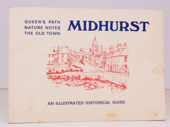
MIDHURST
Midhurst: Queen’s Path. Nature Notes. The Old Town
An Illustrated Historical Guide. [Foreword by E.W. Knight].
Read more details -
WILBERFORCE, William
Journey to the Lake District from Cambridge 1779
A Diary written by William Wilberforce. Edited by his great-great-grandson C.E. Wrangham. With a Foreword by the Earl of Birkenhead.
Read more details
Topography
England
Books are listed by county following the boundaries defined in the Local Government Act 1888. Islands are included in the nearest mainland county (eg. Cornwall & Isles of Scilly).
Ireland, Scotland, Wales.
Books are arranged by country.

