-
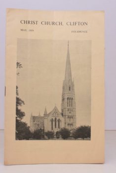
CLIFTON
Christ Church Clifton
[Church Magazine] May 1959. [Church Magazine] May 1959.
Read more details -
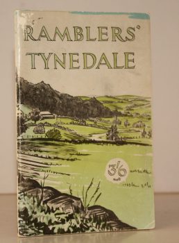
RAMBLERS ASSOCIATION
Ramblers Tynedale
Ten Walks in the South West of Northumberland around Tyne, North Tyne & South Tyne Dales. Ramblers Association. Northern Area.
Read more details -
NEALE, Kenneth
Victorian Horsham, The Diary of Henry Michell 1809-1874
Edited and Introduced by Kenneth Neale.
Read more details -
CLARKE, Patricia A.
Pinner, Hatch End, North Harrow and Rayners Lane
A Pictorial History.
Read more details -
DELDERFIELD, Eric R.
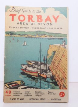
The Visitor’s Brief Guide to the Torbay Area of Devon
Written and compiled by Eric R. Delderfield. Third Edition.
Read more details -
NAUGHTON, Katherine S.
The Gentry of Bedfordshire in the Thirteenth and Fourteenth Centuries
Read more details -
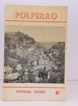
POLPERRO
Polperro Official Guide
Published under the Authority of the Lansallos Parish Council.
Read more details -
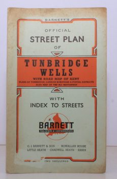
TUNBRIDGE WELLS.
Barnett’s Official Street Plan of Tunbridge Wells
With Road Map of Kent, Plans of Tonbridge, London Boroughs & Postale Districts. Also Map of the M2 Motorway.
Read more details -
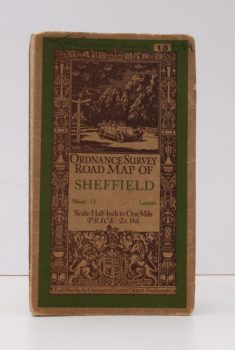
ORDNANCE SURVEY
Ordnance Survey Road Map of Sheffield
Sheet 13. Layers. Half-Inch to One Mile. [Ellis Martin cover].
Read more details -
ORDNANCE SURVEY
Ordnance Survey Contoured Road Map of Bridgwater and District
Popular Edition. One Inch. Sheet 120. [Ellis Martin cover].
Read more details -
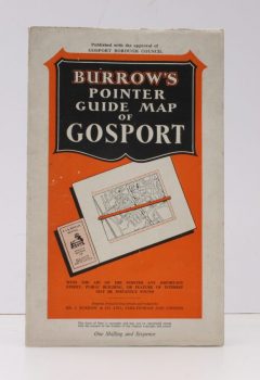
GOSPORT.
Burrows Pointer Guide Map of Gosport including Lee-on-the-Solent & Stokes Bay
Read more details -
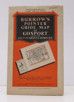
GOSPORT.
Burrows Pointer Guide Map of Gosport including Lee-on-the-Solent & Stokes Bay
Third Edition.
Read more details -
TWYFORD
Road Map of Twyford and District
Presented with the Compliments of Pike & Smith of Twyford.
Read more details
Topography
England
Books are listed by county following the boundaries defined in the Local Government Act 1888. Islands are included in the nearest mainland county (eg. Cornwall & Isles of Scilly).
Ireland, Scotland, Wales.
Books are arranged by country.
