-

-
-
HARPER, Charles G.
The Hastings Road and the ‘Happy Springs of Tunbridge’
Illustrated by the Author.
Read more details -
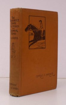
HARPER, Charles G.
The Newmarket, Bury, Thetford, and Cromer Road
Sport and History on an East Anglian Turnpike.
Read more details -
-
HARPER, Charles G
The Newmarket, Bury, Thetford and Cromer Road
Sport and History on an East Anglian Turnpike. Illustrated by the Author, and from old-time Prints and Pictures.
Read more details -
-
-

HARPER, Charles G
The Oxford, Gloucester and Milford Haven Road
The Ready Way to South Wales.
Read more details -
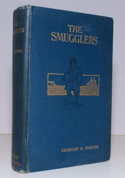
HARPER, Charles G.
The Smugglers. Picturesque Chapters in the Story of an Ancient Craft
Illustrated by Paul Hardy, by the Author and from old Prints and Photographs.
Read more details -
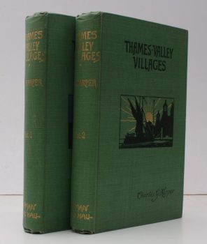
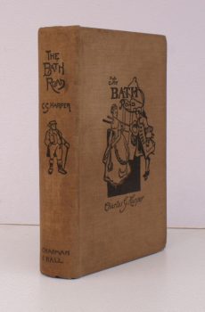
HARPER, Charles G.
Thames Valley Villages
Illustrated from Photographs by W.S. Campbell and from Drawings by by the Author.
Read more details -
-
-
HARRIS, L. E.
Vermuyden and the Fens. A Study of Sir Cornelius Vermuyden and the Great Level
Read more details -
-
-
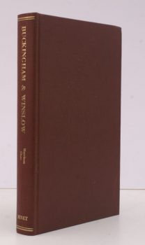
HARRISON, [ J.T [with] CLEAR (A.
Leisure-Hour Notes on Historical Buckingham, 1909 [with] An Account of the Town and Manor of Winslow, 1894
[2 works reproduced in one volume].
Read more details -

-
-
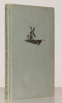
HARRISON, Wing Commander H.C.
The Story of Sprowston Mill
With Decorations and Diagrams by Graham R. Nisbet.
Read more details -

HART, F.H.
History of Lee and its Neighbourhood
[Eltham, Lewisham, Blackheath, Charlton, Greenwich. Facsimile Re-issue].
Read more details -
-

HASLAM, Richard
The Buildings of Wales. Powys (Montgomeryshire, Radnorshire, Breconshire)
Read more details -

HASSALL, Arthur
Christ Church Oxford
An Anthology in Prose and Verse selected by Arthur Hassall, with 26 Plates in Colour reproduced from Paintings by Arthur Garratt and from Portraits in Christ Church Hall.
Read more details -

Topography
England
Books are listed by county following the boundaries defined in the Local Government Act 1888. Islands are included in the nearest mainland county (eg. Cornwall & Isles of Scilly).
Ireland, Scotland, Wales.
Books are arranged by country.