-

ARMSTRONG, J. R.
A History of Sussex
Cartography by J. Broughton and Roy Mole. Drawings by Caroline Lockwood. [Third Edition].
Read more details -

ARMSTRONG, Anthony
England our England
A Vague and Unauthenticated Gudie to some English Towns. With Drawings by Treyer Evans.
Read more details -

ARMSTRONG, J. R.
A History of Sussex
Edited by Richard Pailthorpe and Diana Zeuner. [Fourth Edition.]
Read more details -
-

-

ARNOLD-FORSTER, Mary
Basset Down
An Old Country House. Foreword by Charles Morgan.
Read more details -

-
-
-
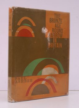
ASHBEE, Paul
The Bronze Age Round Barrow in Britain
An Introduction to the Study of the funerary Practice and Culture of the British and Irish Single-Grave People of the Second Millennium B.C.
Read more details -
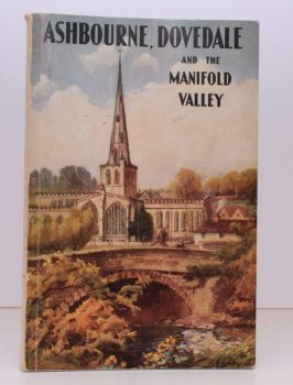
ASHBOURNE. DOVEDALE. MANIFOLD VALLEY
Ashbourne, Dovedale and the Manifold Valley
Designed and produced by the 'Come-to-Derbyshire' Association.
Read more details -
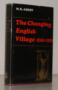
ASHBY, M K
The Changing English Village. A History of Bledington, Gloucestershire in its Setting, 1066-1914
Read more details -
-

ASPDEN, J.C.
A Municipal History of Eastbourne 1938-1974
Foreword by Francis H. Busby.
Read more details -

ASSOCIATIONS PROTECTRICES DES MOULINS.
Les Moulins de France. Nouvelle Serie No. 1. Printemps 1976
Revue des Associations Protectrices des Moulins.
Read more details -

ASSOCIATIONS PROTECTRICES DES MOULINS.
Les Moulins de France. Nouvelle Serie No. 2. Automne 1976
Revue des Associations Protectrices des Moulins.
Read more details -
-

-

AUDEN, Thomas
Shrewsbury
A Historical and Topographical Account of the Town. Illustrated by Katharine M. Roberts. Second Edition [revised by Henrietta M Auden].
Read more details -

-
-

-
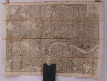
BACON, G.W.
Bacon’s New Map of Central London
Divided into Half Mile Squares and Circles. Scale: Four Inches to the Mile.
Read more details -
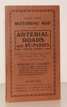
BACON'S ARTERIAL ROADS AROUND LONDON.
Large Print Motoring Map of the Arterial Roads and By-Passes around London, extending North to St. Albans, South to Epsom, East to Purfleet, West to Windsor. Scale of 1 Inch to 1.08 Miles
Showing at a glance arterial roads and by-passes built and under construction, first and second class roads with the Ministry of Transport numbers and mileage between towns.
Read more details -

Topography
England
Books are listed by county following the boundaries defined in the Local Government Act 1888. Islands are included in the nearest mainland county (eg. Cornwall & Isles of Scilly).
Ireland, Scotland, Wales.
Books are arranged by country.