-
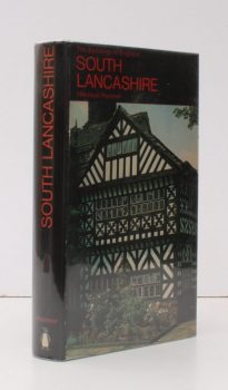
PEVSNER, Nikolaus
The Buildings of England. Lancashire 1. The Industrial and Commercial South
Read more details -
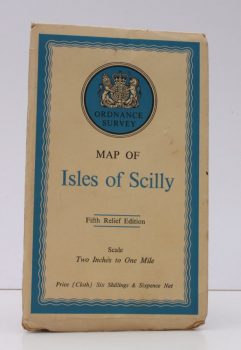
ORDNANCE SURVEY
Ordnance Survey Map of Isles of Scilly
Fifth Relief Edition. Scale: Two Inches to One Mile.
Read more details -
HONEYBOURNE, ed., Marjorie B.
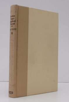
London Topographical Record. Illustrated. Vol. XXIII
Including the Sixty-Fourth to the Seventy-Second Annual Reports of the London Topographical Society.
Read more details -
HONEYBOURNE, ed., Marjorie B.
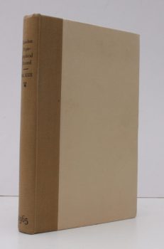
London Topographical Record. Illustrated. Vol. XXII
Including the Fifty-Eighth to the Sixty-Third Annual Reports of the London Topographical Society.
Read more details -
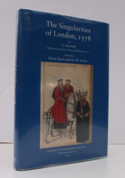
GRENADE, L.
The Singularities of London, 1578
Les Singularitez de Londres, noble, fameuse Cite, capital du Royaume d'Angleterre: ses antiquitez et premiers fondateurs. (Biblioteca Apostolica Vaticana, MS Reg. lat.672). Edited by Derek Keene and Ian W. Archer.
Read more details -
EVANS, H.A.
Highways and Byways in Northamptonshire and Rutland
With Illustrations by Frederick L. Griggs.
Read more details -
STEER, Francis W.
Minute Book of the Common Council of the City of Chichester 1783-1826
Read more details -
FAWSLEY, Lady Knightly of
Politics and Society
The Journals of Lady Knightley of Fawsley, 1885 to 1913. Edited by Peter Gordon.
Read more details -
BRIGHTON.
Brighton, Hove and District
A brief Description of Brighton of To-day and Yesterday, with a Street Plan, and Illustrations.
Read more details -
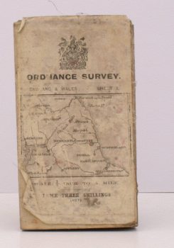
ORDNANCE SURVEY
Ordnance Survey. [Carlisle. Newcastle upon Tyne]
Sheet 1. Scale: Quarter Inch to One Mile.
Read more details -
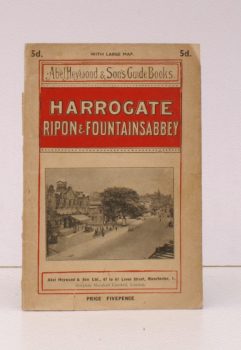
HEYWOOD, Abel
Harrogate, Ripon and Fountains Abbey
[Motoring, Cycling, Walking and Driving Routes].
Read more details -
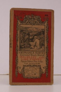
ORDNANCE SURVEY
Ordnance Survey Contoured Road Map of Dolgelley and Lake Vwynwy
Sheet 59. Scale: One Inch to to One Mile.
Read more details -
ORDNANCE SURVEY
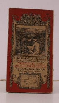
Ordnance Survey Contoured Road Map of Norwich and Great Yarmouth
Sheet 67. Popular Edition. Scale: One Inch to to One Mile.
Read more details -
ORDNANCE SURVEY
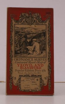
Ordnance Survey Contoured Road Map of Yeovil and Blandford
Sheet 130. Popular Edition. Scale: One Inch to to One Mile.
Read more details -
ORDNANCE SURVEY
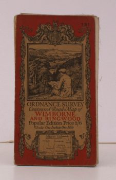
Ordnance Survey Contoured Road Map of Wimborne and Ringwood
Sheet 131 . Popular Edition. Scale: One Inch to to One Mile.
Read more details
Topography
England
Books are listed by county following the boundaries defined in the Local Government Act 1888. Islands are included in the nearest mainland county (eg. Cornwall & Isles of Scilly).
Ireland, Scotland, Wales.
Books are arranged by country.
