-
-
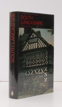
PEVSNER, Nikolaus
The Buildings of England. Lancashire 1. The Industrial and Commercial South
Read more details -
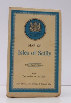
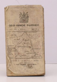
ORDNANCE SURVEY
Ordnance Survey Map of Isles of Scilly
Fifth Relief Edition. Scale: Two Inches to One Mile.
Read more details -
-
-
-
HONEYBOURNE, ed., Marjorie B.
London Topographical Record. Illustrated. Vol. XXIII
Including the Sixty-Fourth to the Seventy-Second Annual Reports of the London Topographical Society.
Read more details -
HONEYBOURNE, ed., Marjorie B.
London Topographical Record. Illustrated. Vol. XXII
Including the Fifty-Eighth to the Sixty-Third Annual Reports of the London Topographical Society.
Read more details -
-
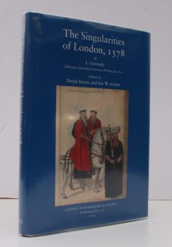
GRENADE, L.
The Singularities of London, 1578
Les Singularitez de Londres, noble, fameuse Cite, capital du Royaume d'Angleterre: ses antiquitez et premiers fondateurs. (Biblioteca Apostolica Vaticana, MS Reg. lat.672). Edited by Derek Keene and Ian W. Archer.
Read more details -

EVANS, H.A.
Highways and Byways in Northamptonshire and Rutland
With Illustrations by Frederick L. Griggs.
Read more details -

STEER, Francis W.
Minute Book of the Common Council of the City of Chichester 1783-1826
Read more details -
-

FAWSLEY, Lady Knightly of
Politics and Society
The Journals of Lady Knightley of Fawsley, 1885 to 1913. Edited by Peter Gordon.
Read more details -

BRIGHTON.
Brighton, Hove and District
A brief Description of Brighton of To-day and Yesterday, with a Street Plan, and Illustrations.
Read more details -
ORDNANCE SURVEY
Ordnance Survey. [Carlisle. Newcastle upon Tyne]
Sheet 1. Scale: Quarter Inch to One Mile.
Read more details -
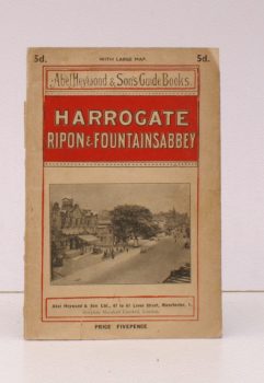
HEYWOOD, Abel
Harrogate, Ripon and Fountains Abbey
[Motoring, Cycling, Walking and Driving Routes].
Read more details -
-

-
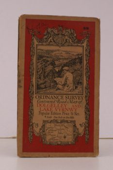
ORDNANCE SURVEY
Ordnance Survey Contoured Road Map of Dolgelley and Lake Vwynwy
Sheet 59. Scale: One Inch to to One Mile.
Read more details -
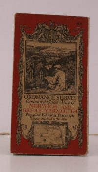
ORDNANCE SURVEY
Ordnance Survey Contoured Road Map of Norwich and Great Yarmouth
Sheet 67. Popular Edition. Scale: One Inch to to One Mile.
Read more details -
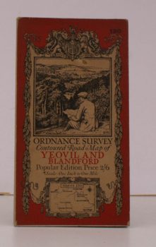
ORDNANCE SURVEY
Ordnance Survey Contoured Road Map of Yeovil and Blandford
Sheet 130. Popular Edition. Scale: One Inch to to One Mile.
Read more details -
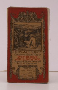
ORDNANCE SURVEY
Ordnance Survey Contoured Road Map of Wimborne and Ringwood
Sheet 131 . Popular Edition. Scale: One Inch to to One Mile.
Read more details -
-

Topography
England
Books are listed by county following the boundaries defined in the Local Government Act 1888. Islands are included in the nearest mainland county (eg. Cornwall & Isles of Scilly).
Ireland, Scotland, Wales.
Books are arranged by country.