-
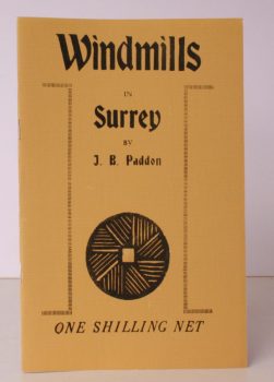
PADDON, J. B.
Windmills in Surrey
Being a Collection of Drawings and Lino-cuts illustrating those Windmills at present standing in the County.
Read more details -

-

-
-
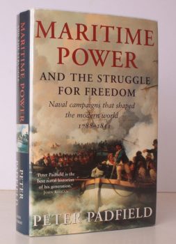
PADFIELD, Peter
Maritime Power and the Struggle for Freedom
Naval Campaigns that shaped the Modern World 1788-1851.
Read more details -
PAGE, J.L.W.
The Coasts of Devon and Lundy Island
Their Towns, Villages, Scenery, Antiquities and Legends.
Read more details -

-

PAGE (ed.)], [Terry
Historic Buildings of West Sussex
Drawings by Gerald Lip. From the Series in the Evening Argus. [Edited by Terry Page].
Read more details -

-

-
PAGET, Clarence G.
By-Ways in the History of Croydon
[Introduction by J.O. Pelton].
Read more details -

-
-
PAGHAM.
St. Thomas a Becket’s, Pagham
A Guide to the Church, Parish and Harbour. [New Edition].
Read more details -
PAIKERT, G. C.
The Danube Swabians. German Populations in Hungary, Rumania and Yugoslavia, and Hitler’s Impact on their Patterns
[Studies in Social Life X.]
Read more details -
-
PAINTER, Robin
A Signal Honour
With the Chindits and XIV Army in Burma. [Foreword by Major General D.R. Horsfield].
Read more details -

-
-
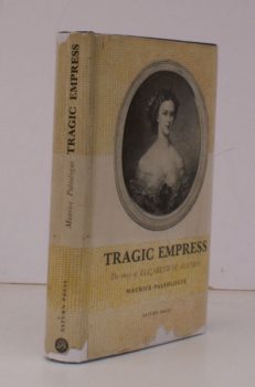
PALEOLOGUE, Maurice
Tragic Empress
The Story of Elizabeth of Austria. Translated and annotated by H.J. Stenning. [First English Edition].
Read more details -
PALGRAVE, Francis Turner
Palgrave’s Golden Treasury
[Introduction by Edward Hutton. First Edition in Everyman's Library.]
Read more details -
PALGRAVE, Francis Turner
The Treasury of Sacred Song
Selected from the English Lyrical Poetry of Four Centuries. With Notes explanatory and biographical.
Read more details -
PALGRAVE, Francis Turner
The Golden Treasury
[With an Introduction by Edward Hutton.]
Read more details -

-