-
-

OWEN, Frank
Our Ally China
The Story of a Great People and its Man of Destiny - Chiang Kai-Shek. [With a Foreword by the Chinese Ambassador Dr. Wellington Koo.]
Read more details -

OWEN, Wilfred
Selected Poems
Introduced by Owen Sheers. With original Engravings by Neil Bousfield.
Read more details -

-

OWEN, Lt.-Col. David Lloyd
The Desert My Dwelling Place
With a Foreword by Field-Marshal Sir Gerald Templer.
Read more details -

OWEN (ed.), Dorothy M.
[Devon and Cornwall Record Society
New Series, Vol. 20]. Historical Manuscripts Commission JP22. John Lydford's Book. Edited, with an Introduction by Dorothy M. Owen.
Read more details -

OWEN, ed., Dora
The Book of Fairy Poetry
Edited by Dora Owen. Illustrated by Warwick Goble.
Read more details -

-
OXFORD HISTORICAL SOCIETY
Collectanea Fourth Series
[Vol. XLVII]. Edited by the Committee of the Society.
Read more details -

OXFORD UNIVERSITY
Parecbolae, sive Excerpta e Corpore Statutorum Universitatis Oxoniensis accedunt Articuli Religionis XXXIX in ecclesia anglicana recepti
Read more details -

-

-

-

-

-

-

PABST, Helmut
The Outermost Frontier
A German Soldier in the Russian Campaign. [Second Edition.]
Read more details -

-
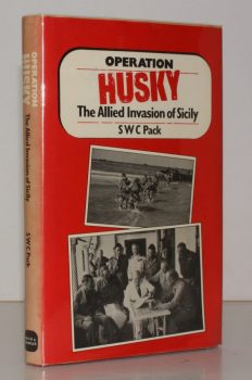
PACK, [Captain] S. W. C.
Operation HUSKY. The Allied Invasion of Sicily
Introduction by Vice-Admiral Lord Ashbourne.
Read more details -
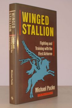
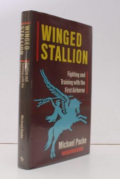
PACKE, Michael
Winged Stallion
Fighting and Training with the First Airborne. [Second Edition].
Read more details -
PACKE, Michael
Winged Stallion
Fighting and Training with the First Airborne. [Second Edition; First Edition titled thus.]
Read more details -

-

PACKULL, Werner O.
Mysticism and the Early South German-Austrian Anabaptist Movement 1525-153
Read more details -
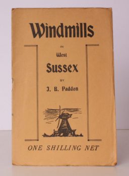
PADDON, J. B.
Windmills in West Sussex
A complete Account of every Windmill at present standing in West Sussex.
Read more details -
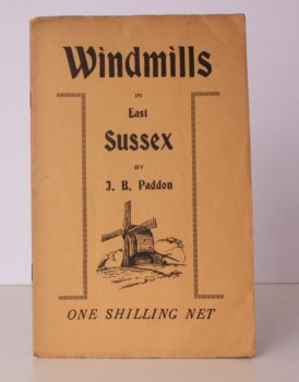
PADDON, J. B.
Windmills in East Sussex
A complete Account of every Windmill at present standing in East Sussex.
Read more details