-
-

OTWAY, Lieutenant-Colonel T. B. H.
Airborne Forces
[Official History of] The Second World War 1939-1945. Army. [Commemorative reissue.]
Read more details -
-
-

-
-
-
OUVRY, Col. Henry Aime
Stein and his Reforms in Prussia, with Reference to the Land Question in England: and an Appendix containing the Views of Richard Cobden and J.S. Mill’s Advice to Land Reformers
Read more details -
-

-
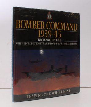
OVERY, Richard
Bomber Command 1939-1945
Foreword by Sir Michael Beetham. Interviews conducted by Alex Beetham and Sally Lindsay.
Read more details -
-
-
OVID
P. Ovidii Nasonis Metamorphoseon Libri XV
Ovidii Nasonis Metamorphoseon Libri XV. Cum Versione Anglica, ad Verbum, quantum fieri potuit, facta. Or. Ovid's Metamorphoses. With an English Translation, as Literal as possible, and the Original Text carefully corrected [by J. Clarke].
Read more details -
OVID, Publii Ovidii Nasonis
Publii Ovidii Nasonis
Fastorum Libri VI. Ovid's Fasti; with Notes and an Introduction by Thomas Keightley. [Text in Latin; Introduction and Notes in English].
Read more details -

OVID
The Metamorphoses
Translated by Arthur Golding. Edited by Madeleine Forey. Essay on Titian and Ovid by Michael Prodger. Illustrated with the Poesie and other Works inspired by the Metamorphoses by Titian.
Read more details -
OVID, Publius Ovidius NASO
The Art of Love
Translated by James Michie. Paintings by Grahame Baker.
Read more details -

-

OWEN, Hugh J.
Merioneth Volunteers and Local Militia during the Napoleonic Wars (1795-1815)
With a Foreword by Lord Atkin.
Read more details -

OWEN, T.M.
Welsh Folk Customs [Second Edition]
elsh Folk Customs [Second Edition].
Read more details -

OWEN, Harold
Journey from Obscurity
Wilfred Owen 1893-1918. Memoirs of the Owen Family.
Read more details -

OWEN, Harold
Journey from Obscurity. Wilfred Owen 1893-1918.
Memoirs of the Owen Family. I: Childhood; II: Youth; III: War; IV: Aftermath. [Complete extended set].
Read more details -

OWEN, Kenneth
Concorde and the Americans
International Politics of the Supersonic Transport. [First UK Edition].
Read more details -
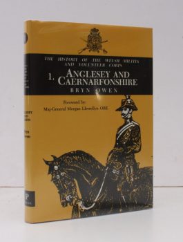
OWEN, Bryn
Welsh Militia and Volunteer Corps 1757-1908
I. Anglesey & Caernarfonshire. [Foreword by Maj.-Gen. Morgan Llewellyn.]
Read more details -

OWEN, Myrfyn
Wildfowl of Europe
Foreword by Sir Peter Scott. Colour Plates by Hilary Burn. [Line Drawings by Joe Blossom. Maps by Brian Crosby.]
Read more details