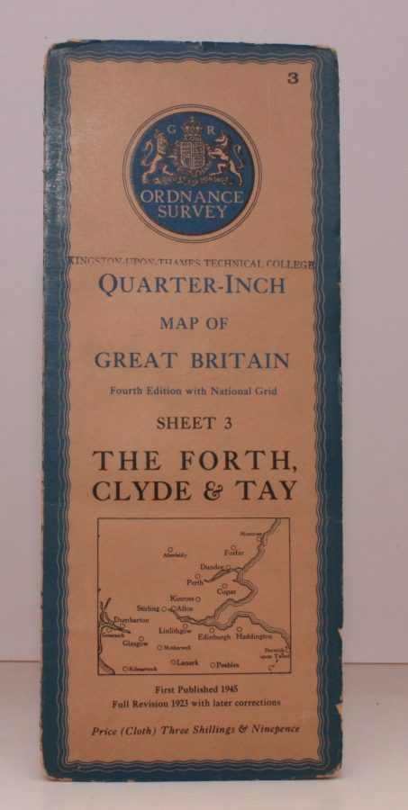
Quarter-Inch Map of Great Britain. Sheet 3. The Forth, Clyde and Tay
( Ellis MARTIN ) ORDNANCE SURVEY
Fourth Edition with National Grid. [Scale: Quarter-Inch to One Mile].
BRIGHT, CLEAN COPY OF THE 1945 ISSUE
Published: Ordnance Survey Chessington, [1945]
Stock code: 46638
Price: £22.00
Folding coloured map on cloth measuring 24.0 x 35.0 ins (approx. 61 x 89 cms) folding in 16 panels to 12.5 x 5.0 ins (approx. 32.0 x 13 cms); printed card covers, a very good, bright, clean copy.
With small institutional stamp on front cover and inner wrapper [only]. The cover is Ellis Martin's 'Medallion Royal Arms' with blue border and location map, in long format. The generic form of this design became the first standard post-war OS cover. The survey is based on the full revision of 1923 with later corrections. Browne, 96.2.a.