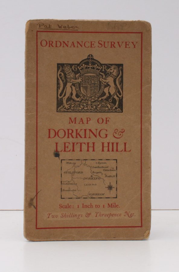
Ordnance Survey [Tourist] Map of Dorking & Leith Hill
ORDANCE SURVEY
One Inch to One Mile. ['Official Royal Arms' cover].
Published: Ordnance Survey [Southampton, 1929]
Stock code: 12640
Price: £16.00
Folding coloured map on paper measuring 24 x 33 ins (approx. 61.0 x 84.0 cms) folding in 32 panels to 7.5 x 4.25 ins (approx. 19.0 x 11.0 cms), neat contemporary signature on front cover, one or two neat repairs at folds; original pictorial card wrappers, yapped edges, wrappers lightly age-soiled else a very good, bright, clean copy.
The One Inch Tourist Map series was first published in 1924 with 'Official Royal Arms' artwork. The present copy is the 1929 revision; the cover is single red lineation on buff with black arms, red sheet name and location map. Browne, 8.1.a.1.