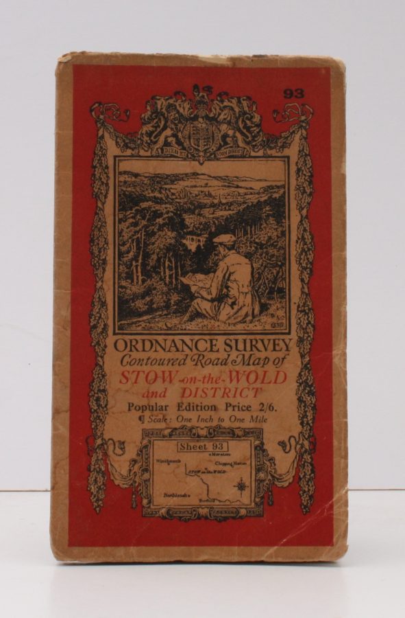
Ordnance Survey Contoured Road Map of Stow-on-the-Wold and District
ORDNANCE SURVEY
Popular Edition. One Inch, Sheet 93. [Ellis Martin cover].
Published: Ordnance Survey [Southampton, 1935]
Stock code: 12834
Price: £10.00
Folding coloured map on cloth measuring 22 x 30 ins (approx.56.0 x 76.0 cms) folding in 21 panels to 7.5 x 4.5 ins (approx. 19.0 x 11.5 cms); original pictorial card wrappers, wrappers lightly frayed at edges else a very good, clean copy.