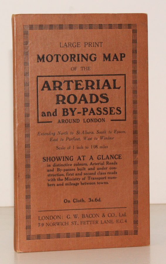
Large Print Motoring Map of the Arterial Roads and By-Passes around London, extending North to St. Albans, South to Epsom, East to Purfleet, West to Windsor. Scale of 1 Inch to 1.08 Miles
BACON'S ARTERIAL ROADS AROUND LONDON.
Showing at a glance arterial roads and by-passes built and under construction, first and second class roads with the Ministry of Transport numbers and mileage between towns.
NEAR FINE COPY IN ORIGINAL BINDING
Published: G.W. Bacon, n.d. [c.1930]
Stock code: 49671
Price: £60.00
8vo., coloured map on cloth, measuring 30 x 39 ins (approx. 76 x 99 cms), folding in 32 panels to 7.5 x 4.5 ins (approx. 19 x 11.5 cms); printed cloth case with integrated 8pp index, a near fine copy.
IN THIS CONDITION, A RARE SURVIVAL.