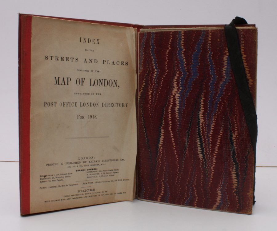
Index to the Streets and Places contained in the Map of London published in the Post Office Directory for 1918
LONDON.
BRIGHT, CLEAN COPY IN PUBLISHER'S WALLET WITH RETAINER
Published: Kelly's Directories, 1918
Stock code: 38202
Price: £360.00
8vo., Index of 68pp facing large folding coloured map mounted on linen, measuring 30 x 44 ins (approx. 76 x 112 cms) folding in 36 panels to 7.5 x 5.5 ins (19 x 14 cms); the whole housed in publisher's red cloth wallet, upper board framed in blind and lettered in gilt with black retaining band (stretched through use and somewhat loose), a very good, bright, clean copty
The map (scale: 4 inches to 1 mile) extends to Hampstead and Hackney in the north, Bromley and Greenwich in the east, Kennington and Walham Green in the south, and Brondesbury and Kensal Green in the west. EXTREMELY SCARCE IN THIS CONDITION.