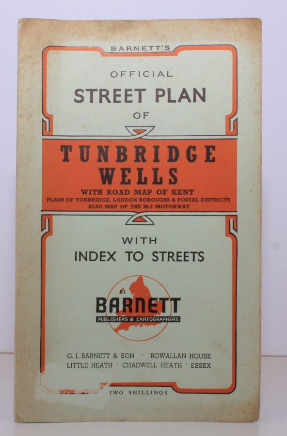
Barnett’s Official Street Plan of Tunbridge Wells
TUNBRIDGE WELLS.
With Road Map of Kent, Plans of Tonbridge, London Boroughs & Postale Districts. Also Map of the M2 Motorway.
BRIGHT, CLEAN COPY
Published: G.I. Barnett Chadwell Heath, n.d. [c.1960]
Stock code: 13053
Price: £12.00
Folding street plan in red and black on paper, measuring 25.0 x 20.0 ins (approx. 63.5 x 51.0 cms) folding in 16 panels to 9.0 x 5.5 ins (approx. 23.0 x 14.0 cms); original printed wrappers in orange and black, yapped edges, covers very lightly age-soiled else a very good, bright, clean copy.
With numerous trade advertisements.