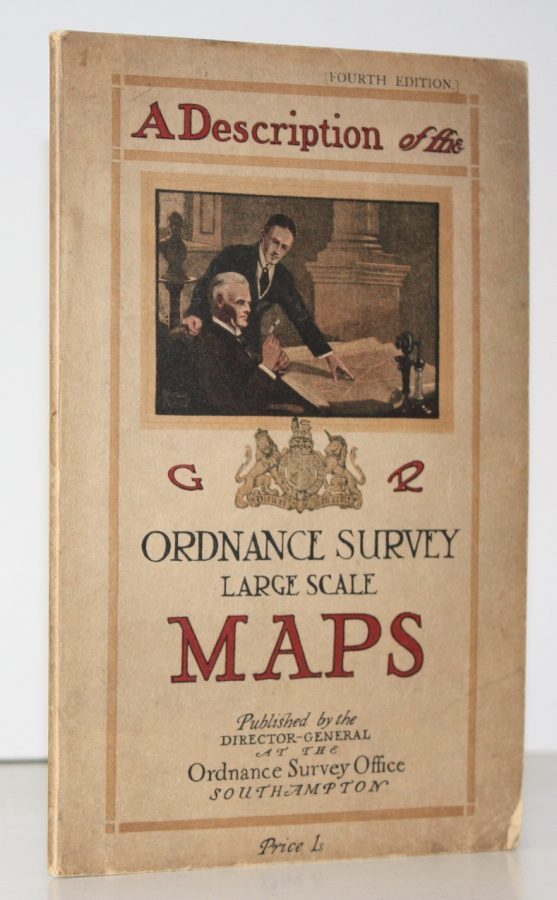
A Description of the Large Scale Maps of Great Britain produced and published by the Ordnance Survey, with Specimens, Symbols Sheet and Diagrams
ORDNANCE SURVEY
Fourth Edition.
NEAR FINE COPY
Published: Ordnance Survey Southampton, [1930]
Stock code: 51884
Price: £32.00
8vo., Fourth Edition, with 11 plates (2 large and folding; some coloured in outline) and diagrams in the text; pictorial wrappers printed in red and black, wire-stitched as issued, covers very lightly age-faded else a near fine copy.
SCARCE IN THIS CONDITION.