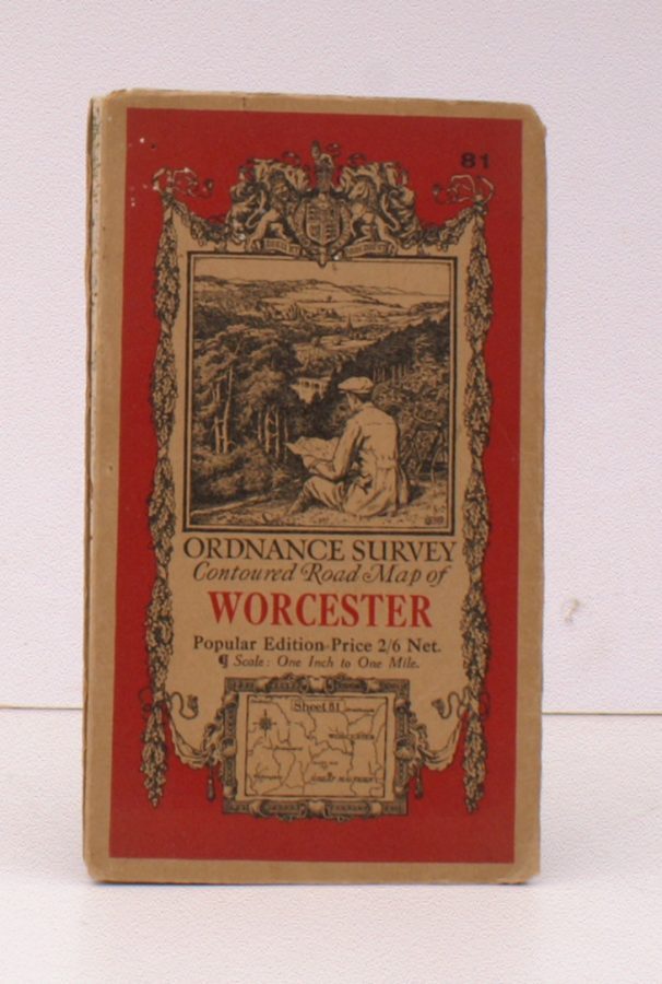
Ordnance Survey Contoured Road Map of Worcester
ORDNANCE SURVEY
Popular Edition. Sheet 81. Scale: One Inch to One Mile.
BRIGHT, CLEAN COPY
Published: Ordnance Survey Southampton, [1928]
Stock code: 32894
Price: £14.00
Folding coloured map on cloth measuring 22 x 29 ins (approx. 59 x 74 cms) folding in 21 panels to 7.0 x 4.5 ins (approx. 17.7 x 10.5 cms), original pictorial card wrappers, a very good, bright, clean copy
First issued in 1920. This is the 1928 reissue with minor corrections. The cover is Ellis Martin's 'cyclist on hillside' in dark red and black with location map. Browne, 11.2.a.